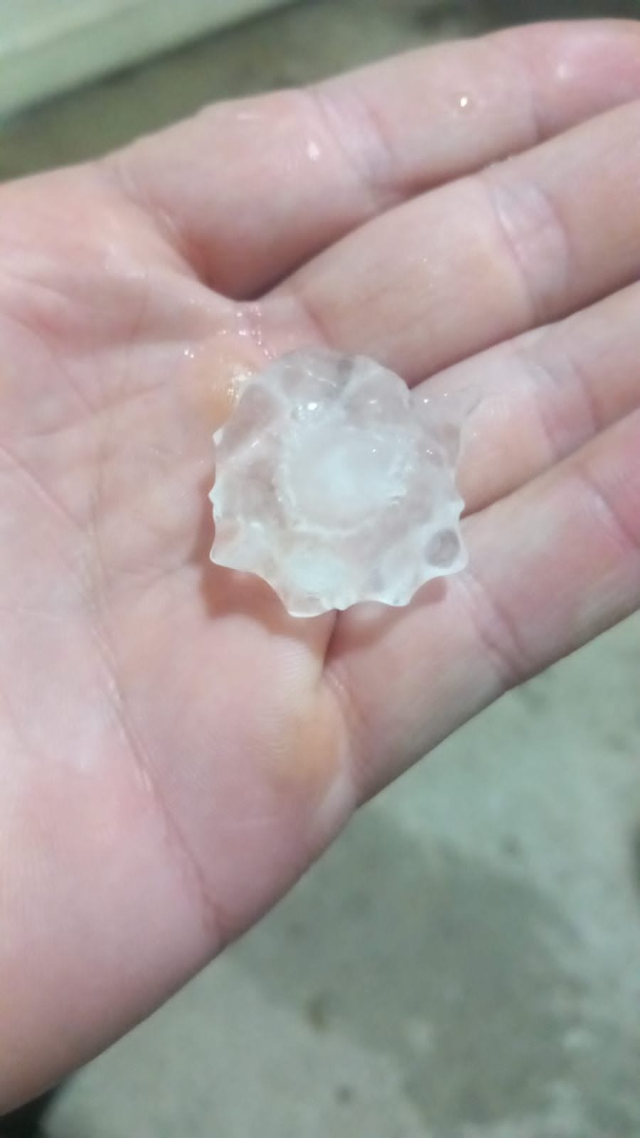
In the peak of August, exceptional weather in Lebanon.. torrential rains and giant hail
16:39 · 29 August 2026
3 min read
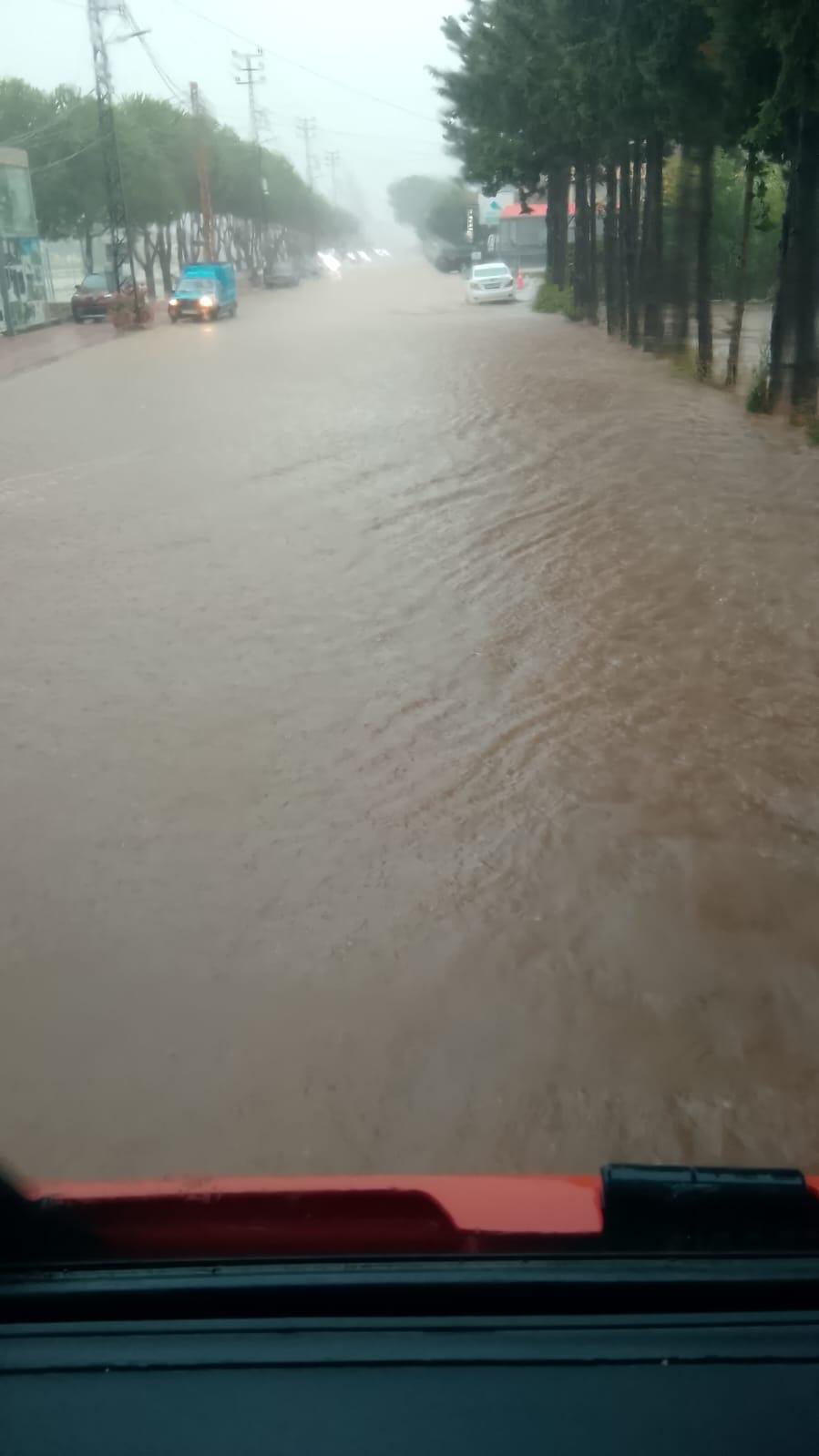
Heavy rains, hailstones, and stormy winds exceeding 70 kilometers per hour strike Lebanon at the peak of August, alongside warnings of torrents, rough seas, and landslides.
In an unusual scene at the peak of August, the first harbingers of a low-pressure system arriving from Turkey via Syria have reached Lebanon, bringing heavy rain, hail showers, and stormy winds, while successive warnings were issued regarding torrents, high sea waves, and the danger of engaging in maritime activities.
The effects of the depression began to appear particularly in the northern and northeastern regions of the Akkar governorate, where heavy rain fell and hailstones dropped, coinciding with stormy winds whose speed exceeded 70 kilometers per hour.
The sudden weather fluctuations in late August brought with them warnings to farmers, especially owners of agricultural plastic greenhouses, regarding the strength of the winds and the possibility of torrents forming. Drivers were also urged to exercise caution on roads to avoid slipping.
At sea, wave heights exceeded two meters with the intensification of winds, prompting a warning to fishermen against sailing during the storm.
Warning along the Lebanese coastline
In this context, the General Directorate of Civil Defense warned citizens and residents against practicing various types of maritime sports and activities along the Lebanese coast, from Al-Abdeh in the north to Naqoura in the south, today, Saturday, and tomorrow, Sunday.
The Directorate attributed its warning to high waves and strong sea currents, and the resulting increased risk of drowning accidents, calling for refraining from swimming and other marine activities and adhering to safety guidelines.
According to the Meteorological Department, Lebanon and the eastern basin of the Mediterranean are gradually being affected by a moderately effective low-pressure system, accompanied by relatively cold air masses, leading to unstable weather conditions starting Saturday afternoon.
The depression is accompanied by scattered rains that occasionally intensify, in addition to lightning, thunder, and active winds that may strengthen during certain periods, with its effect continuing until Sunday afternoon before the weather gradually begins to stabilize.
The Meteorological Department specifically warned against the formation of torrents on roads during the period of the depression's impact, particularly in northern Lebanon.
What about Sunday's weather?
The weather on Sunday will remain partly cloudy with an additional drop in temperatures and the formation of fog on the heights, while scattered rains will fall that may be heavy in the morning, especially in the northern and southern regions, accompanied by lightning and thunder.
The winds will remain active and the sea waves will rise accordingly, before the rains begin to recede starting from the afternoon and the weather gradually stabilizes.
As for Monday, temperatures will return to rise, especially on the mountains and in the interior, while Tuesday will record an additional increase.
Warning for residents of the southern suburb
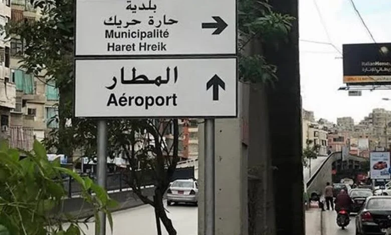
In light of the intensifying winds and the expectation of heavy rainfall, the municipalities of Haret Hreik and Burj al-Barajneh issued a warning to residents regarding the necessity of staying away from damaged and cracked buildings, especially those harmed as a result of the Israeli aggression, out of fear that stones and parts of facades might fall or collapses might occur. The municipality of Burj al-Barajneh also called for not parking cars near these buildings during the period of heavy rain to avoid any potential danger, while the municipality of Haret Hreik emphasized the need to exercise caution with the intensification of wind speeds.
Tags:
Lebanon
Media
← Previous article
Urgent warning from Haret Hreik municipality... Stay away from damaged buildings
Related Articles
The Public Works is constructing two temporary crossings in Burj Rahal and Tairfalsiyeh to mitigate the impact of the destruction of the bridges

Aoun from Tripoli: Division does not protect anyone... and Lebanon’s interest is above all accounts

In the interest of preserving institutions... Mohamed Hazma is reluctant to accept his appointment as governor of Nabatieh