weather
09:14 AM | 14 Aug 2026
A depression is on its way to Lebanon... and a warning: Avoid the sea
Fady Mahouly
The Estimates Department at the Meteorological Department in the General Directorate of Civil Aviation expected that Lebanon and the eastern Mediterranean basin region would be affected by a weakly effective depression centered west of Turkey that would push moderate-temperature air masses leading to volatile weather with falling temperatures and the possibility of scattered rain, accompanied by active wind speeds and rising sea waves.
It also warned of active wind speeds and high sea waves today and tomorrow, Saturday.
Expected weather in Lebanon:
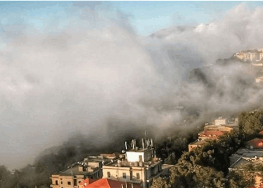
Friday: Partly cloudy to cloudy with dense fog on the highlands and a drop in temperatures, especially in the interior and on the mountains, becoming below their seasonal averages with scattered rain, and the possibility of thunderstorms forming, as the winds become active, sometimes reaching 50 km/h.
Saturday: Partly cloudy with fog in the highlands and high temperatures inland and in the mountains, while remaining unchanged on the coast with active wind speeds.
Sunday: Partly cloudy with fog in the highlands and a drop in temperatures, especially in the mountains and inland.
Monday: Partly cloudy with fog in the highlands, and temperatures remain without significant change.
Surface winds: southwesterly during the day, southerly at night, active at times, with speeds ranging between 15 and 50 km/h.

← Previous article
Gold retreats from the highest level in two months