The flame of “Aab”... for how long?
Fady Mahouly
10:28 · 21 August 2026
2 min read
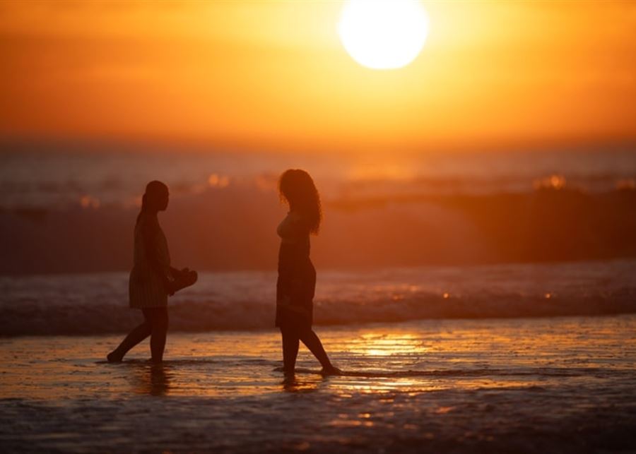
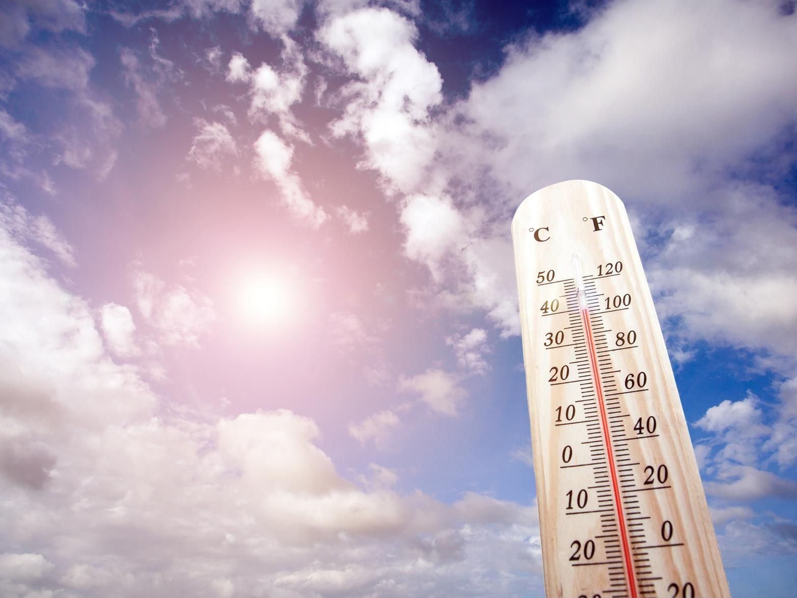
The Estimates Department at the Meteorological Department in the General Directorate of Civil Aviation expected that relatively hot air masses originating from the Arabian Peninsula will affect Lebanon and the eastern basin of the Mediterranean, leading to a rise in temperatures, especially in the mountainous and inland areas, exceeding their seasonal levels, reaching their peak on Friday and continuing until the end of the week, with their impact gradually decreasing starting on Sunday.
It also warned against exposure to sunlight and fires in forest areas.
Expected weather in Lebanon:
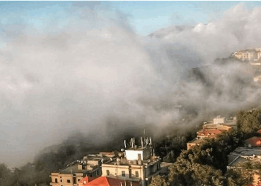
Friday: Few clouds with an additional rise in temperatures, especially in the mountainous and inland areas. The humidity level remains high on the coast, so the feeling of heat increases, and fog forms in the highlands.
Saturday: Few clouds, with temperatures higher than their seasonal averages, especially in the interior areas and the mountains, and high humidity on the coast, which increases the feeling of heat as fog continues to form in the highlands.
Sunday: Few to partly cloudy clouds with a drop in temperatures, but they remain higher than their seasonal averages in the interior areas. Clouds will thicken starting in the afternoon and the weather will become ready for drizzle to fall on the northern highlands, with fog remaining on the highlands.
Monday: Partly cloudy to partly cloudy with a drop in temperatures, but they remain higher than their seasonal averages in the interior areas. Clouds will thicken starting in the afternoon and the weather will become ready for drizzle to fall on the northern highlands, with fog remaining on the highlands.
Surface winds: northwesterly during the day, southeasterly at night, with speeds between 10 and 30 km/h.
Visibility: Good on the coast, moderate to sometimes bad at medium heights due to fog.
Relative humidity on the coast: between 60 and 75%.
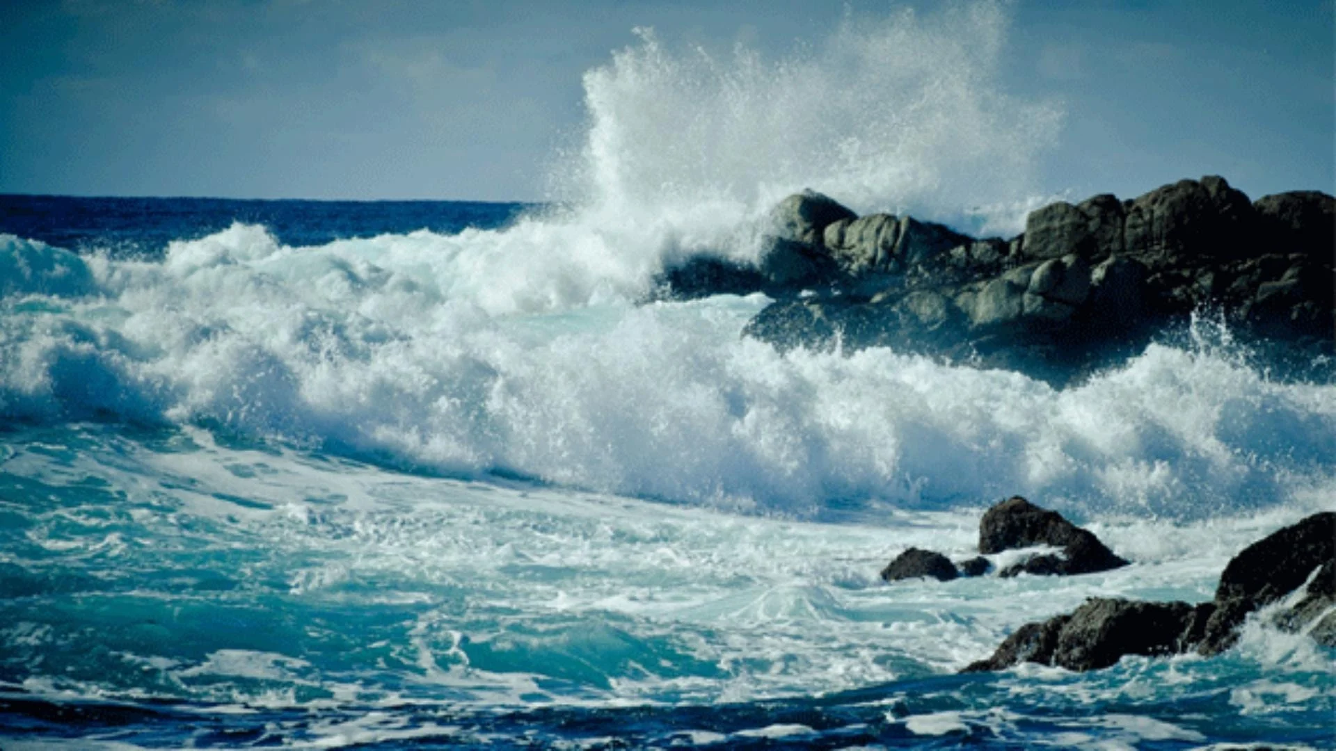
Sea condition: low wave height.
Water surface temperature: 29°C.
Atmospheric pressure: 1011 hectopascals, equivalent to: 758 mm Hg.

← Previous article
The Minister of Defense received the Minister of Energy, thanking him for paying the accumulated amounts to Electricité du Liban